ArcGIS Data Interopability menghancurkan tembok pembatas layaknya dinding-dinding yang menjadi sekat pembatas akses data langsung, transformasi data, dan kemampuan export data.
---------------------------------------------
Apa itu Interoperability : http://en.wikipedia.org/wiki/Interoperability
---------------------------------------------
ArcGIS mengeluarkan ekstensi ARCGIS Data Interopability ini membantu pengguna ArcGIS Desktop sehingga mudah dalam penggunaan dan distribusi data dalam berbagai format.
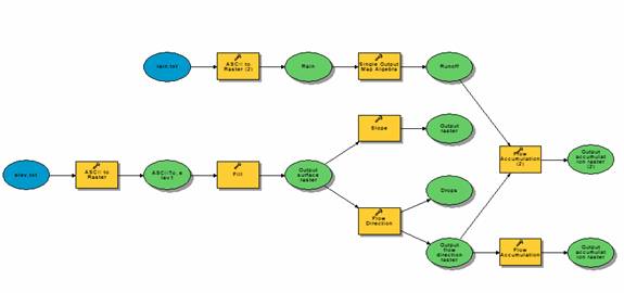
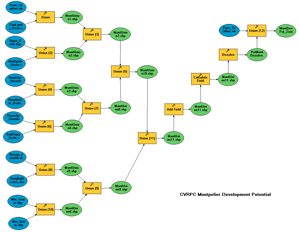
Dengan ArcGIS Data Interopability kita dapat secara langsung lebih dari 75 format data spasial, ekxport ke lebih dari 50 format data spasial, penggunaan semantic data translation engine dengan 150 transformer khusus, integrasi dengan geoprocessing termasuk Model Builder untuk menambahkan manipulasi format data dalam pemodelan GIS.
Berikut ada :
Summary supported format di ArcGIS Data Interopability dalam format pdf berisi format data yang didukung di ArcGIS Data Interopability.
---------------------------------------------------------------------------

Gambar di atas ku cuplik2 dan gabung-gabung.. :)
---------------------------------------------------------------------------------
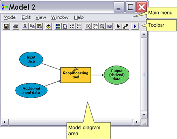
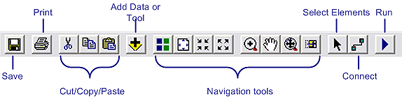
Menggunakan Tools Ekstensi Data Interopability
Using the Data Interoperability Extension tools
These tools can be organized into three functional areas:
Direct read tools
- Direct Read
The simplest way to directly read non-ESRI data formats is by browsing to the datasets in the Catalog Tree. This ability only requires that the Data Interoperability Extension is enabled. This user experience is similar to browsing for ESRI data formats. The representation of the data will depend on the format - some will posses containers with feature classes and others will be single files.
Kita bisa melihat berbagai format data spasial melalui ArcCatalog Tree..
Bisa juga kita mengakses format data non-ESRI dari ArcMap lewat Add Data
- Interoperability Connections
Metode lain untuk membaca data non-ESRI ialah dengan menggunakan Interoperability Connections tool.
This tool provides a more robust method for directly reading your data sources. It allows you to make a connection to a data source or a collection of data sources.
Once the connection is made, data sources will appear underneath the Interoperability Connection tree and are available for use.
Here are some reasons why you may want to use an Interoperability Connection:
* Maintain database connections
* View formats with non-standard file extensions that not be recognized by the Catalog Tree
* Aggregate many tiles of data
* Add formats that require parameters like usernames and passwords
* Specify the coordinate system
Quick conversion tools
The Data Interoperability Extension provides the following tools to quickly convert data: Quick Import and Quick Export. These tools are intended for simple data translations - where the number of input features will match the number of output features. In other words, it is a one to one translation (i.e., flat conversion).
These tools do not require a lot of preparation, so they are ideal for scenarios where you need to convert data quickly. Both of these tools can be incorporated in a Geoprocessing model or script. This allows you to combine the conversion with other Geoprocessing operations. It is important to note that Quick Import and Quick Export will not modify feature geometry or schemas during the conversion.
Quick Import
The Quick Import tool allows you to convert input data formats to a geodatabase. Quick Import is a geoprocessing tool and resides in the Data Interoperability Tools toolbox. Double clicking the tool will open the Quick Import dialog box which will allow you to specify an input data and output staging geodatabase that will define the translation.
Quick Export
The Quick Export tool allows you to convert layers to an output dataset. Like Quick Import, Quick Export is also a geoprocessing tool that resides in the Data Interoperability Tools toolbox. Double clicking the tool will open the Quick Export dialog box which will allow you to specify input layer(s) and an output dataset.
Data transformation tools
Data transformation tools are used to manipulate and transform data. They can perform both schema and geometric restructuring as you convert data to a new output data source. For example, you can add, remove or rename attributes, and calculate or assign values to new or existing attributes. These tools allow you to integrate complex data model restructuring within the geoprocessing environment.
The Workbench application is included with the ArcGIS Data Interoperability extension. This application is a visual diagramming environment that supports dozens of transformers that enable you to transform both geographic and attribute information. You can use the Workbench application to create custom data tools for transforming data as you create new data sources and create custom formats to transform data on-the-fly. These tools use Safe Software's feature manipulation language of their Feature Manipulation Engine (FME). They allow for schema redefinitions and give the user full control of the data translation and transformation process.
Spatial ETL
The Spatial ETL tool provides data transformation capabilities within the geoprocessing environment. It replaces the three custom tools (Custom Data Import, Custom Data Export, and Custom Data Transformation) that were available in previous versions of ArcGIS 9.x. Therefore, it can be used for importing, exporting, and transforming data. Spatial ETL now provides a single tool for all of your data transformation workflows.
source : ArcGIS Dekstop Help, http://www.esri.com/software/arcgis/extensions/datainteroperability/index.html, http://myesri.blogspot.com/2006/07/arcgis-data-interoperability.html, http://en.wikipedia.org/wiki/Spatial_ETL,http://en.wikipedia.org/wiki/Interoperability
Spatial and Non-Spatial Regards...
Aji Putra Perdana